top of page
Orthomosaic Mapping for Large-Scale Projects
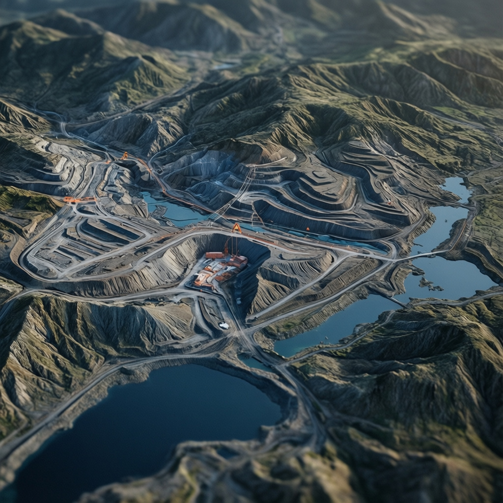
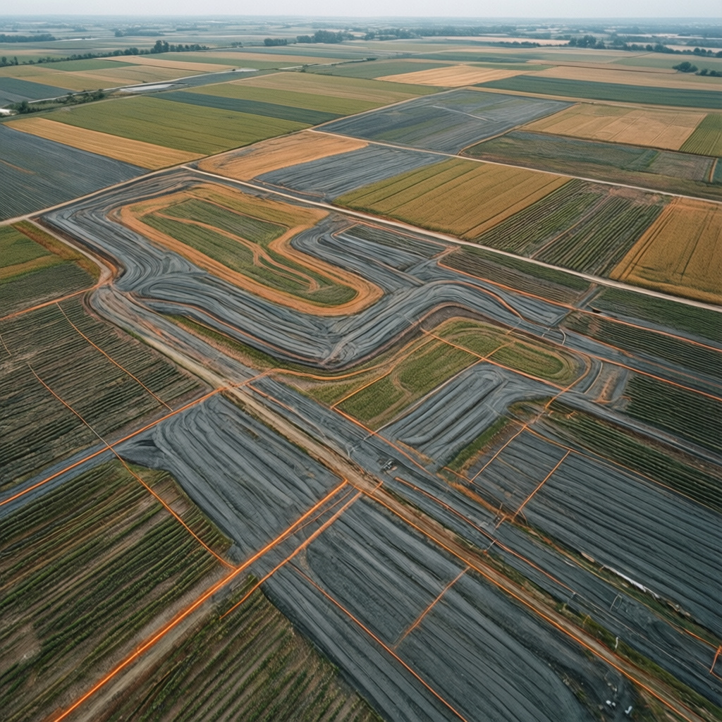
High-accuracy orthomosaic maps generated for complex construction and land development. This service provides a geographically accurate, bird's-eye view of sites, essential for planning, measurement, and detailed analysis. Utilizes advanced drone technology for precision.

01
Orthomosaic Mapping for Large-Scale Projects



bottom of page