top of page
Topographical Surveying with Drones
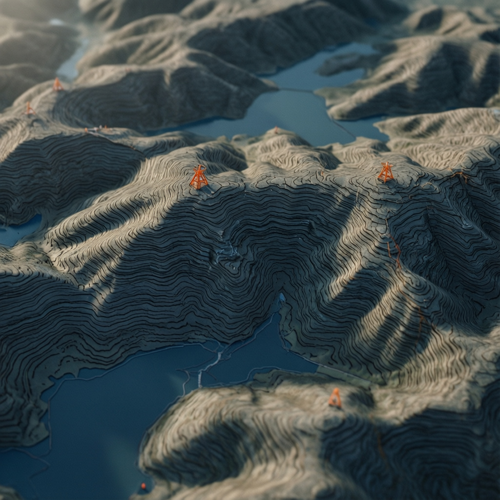
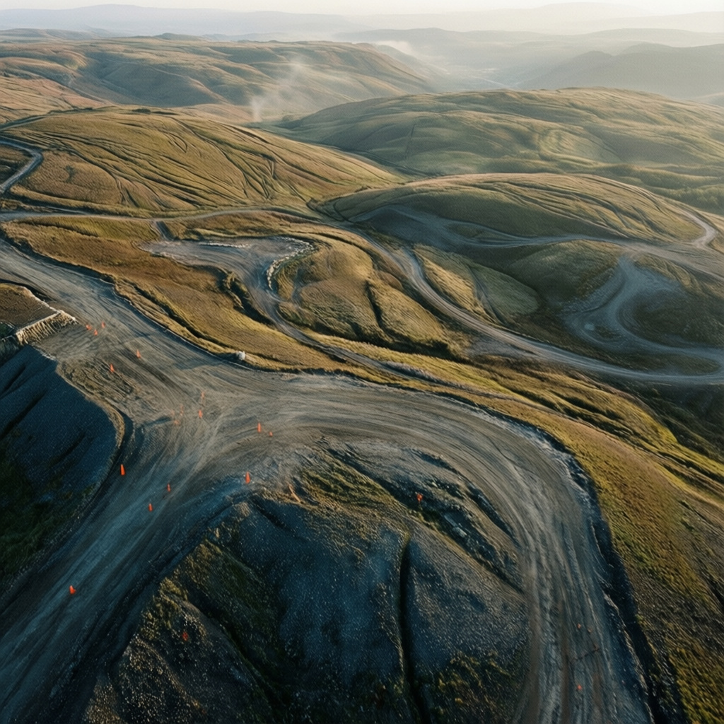
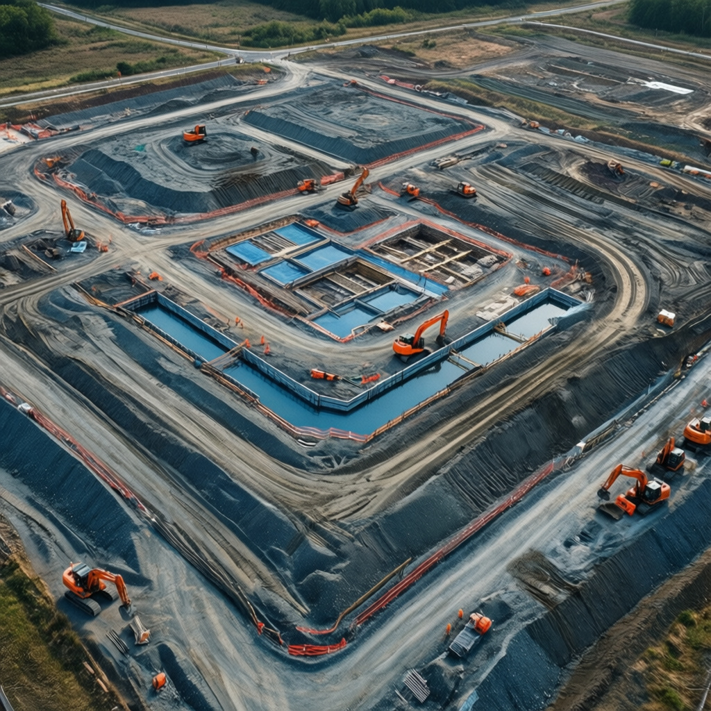
High-resolution aerial mapping and surveying to generate accurate topographical data for construction and land management. Provides detailed terrain models and elevation data crucial for site planning, excavation, and environmental monitoring.

01
Topographical Surveying with Drones


bottom of page